Destination-Wonderland RV Park, Torrey, UT, Capitol Reef NP
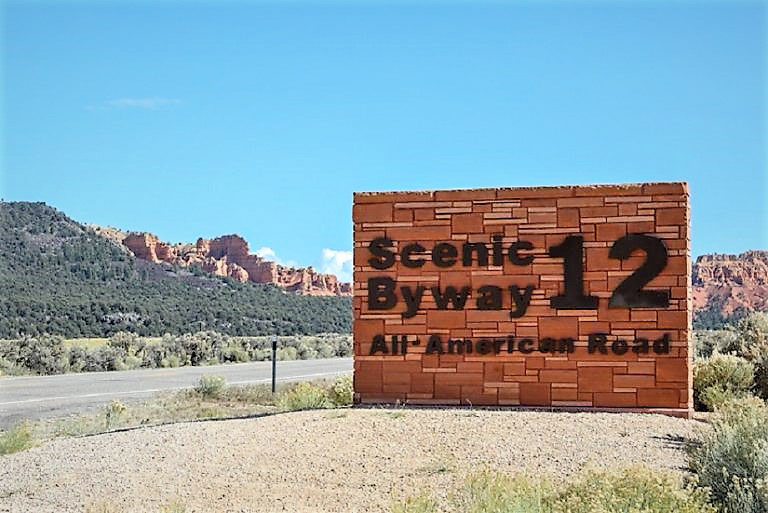
We headed out of Bryce to Capitol Reef on the 2nd ranked most beautiful 124 mile scenic highway in the World.

Climbing the Table Cliff Plateau out of Kodachrome basin at 7,600 ft towards Escalante.

We stopped off at the Escalante Petrified Forest State Park.


Wide Hollow Reservoir with Big Bruce and Camp Escape down below.

A view of the Escalante Mtns in the Dixie National Forest

The boys climbing the trail to the petrified forest.

The most interesting petrified wood specimen in the park. You can still see the preserved rings.

A view of the Mormon town of Escalante, pop. 800 settled in 1876.

Native American's called this area 'the land of sleeping rainbows'.

Back on Scenic Byway 12 heading up to Boulder. The geography and geology seemingly changes around every twist and turn.

A view of the Grand Staircase Escalante to the south.

A view of the Grand Staircase Escalante to the North.

This truly is a 'Journey through time' All American Road.

The 'Hog's Back' hairpin curves and winding section where the road runs along a very steep ridge and drops off drastically into deep canyons below, on both sides.

Surviving Hog Back's twisty death defying curves and excited to come down into Boulder. (If only for a moment before we climb again!)

We reached the summit at 9600 ft at the top of Boulder mtn, the highest forested plateau in North America with spectacular views of Capital Reef NP, the Henry snowcapped mnts and believe it or not, Navajo Mnt (100 miles away) past Lake Powell on the far upper left side.

The final 11 miles and at times 10% grade down into Torrey, UT elevation 68oo. This has been quite a ride!
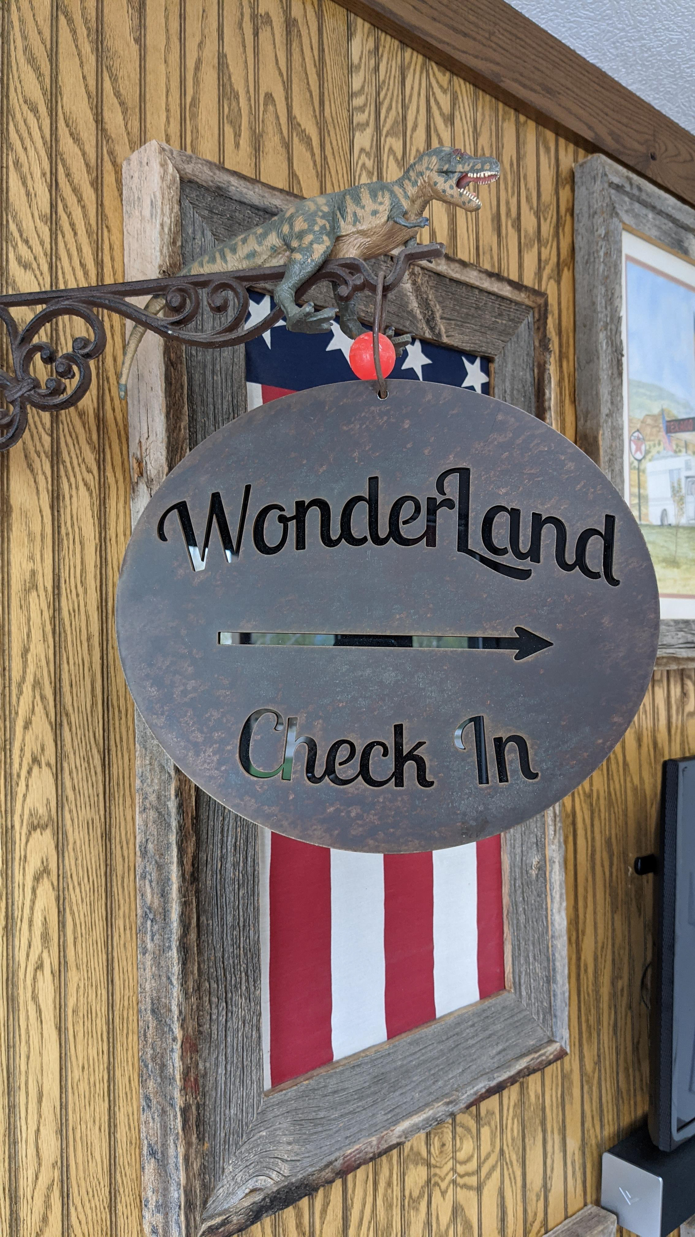
Wonderland RV Park, Torrey, UT
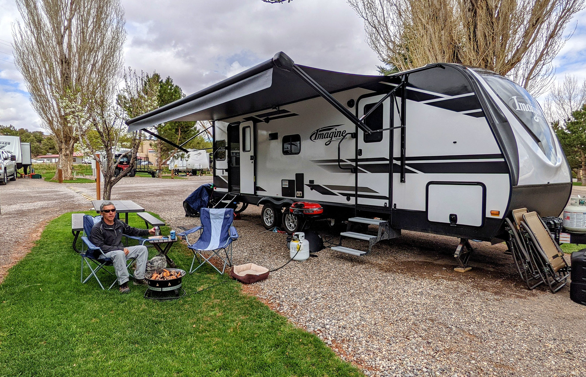
Our little slice of paradise.
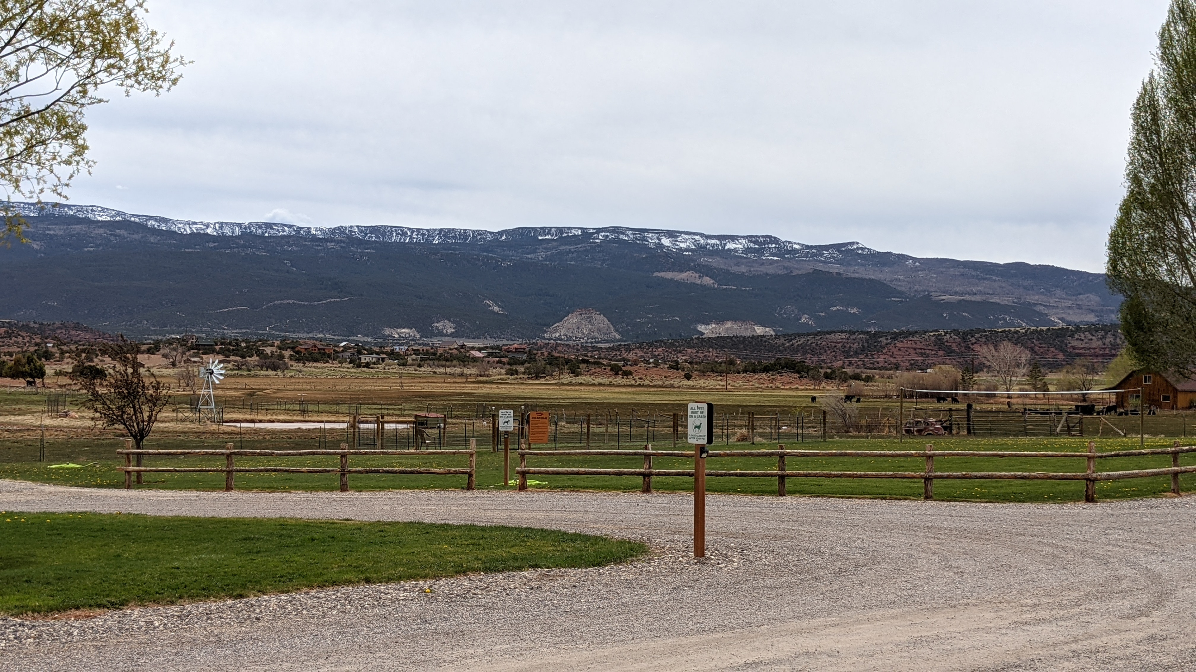
Our view that comes along with the little slice of paradise. Thousand Lake Mnts in the background.
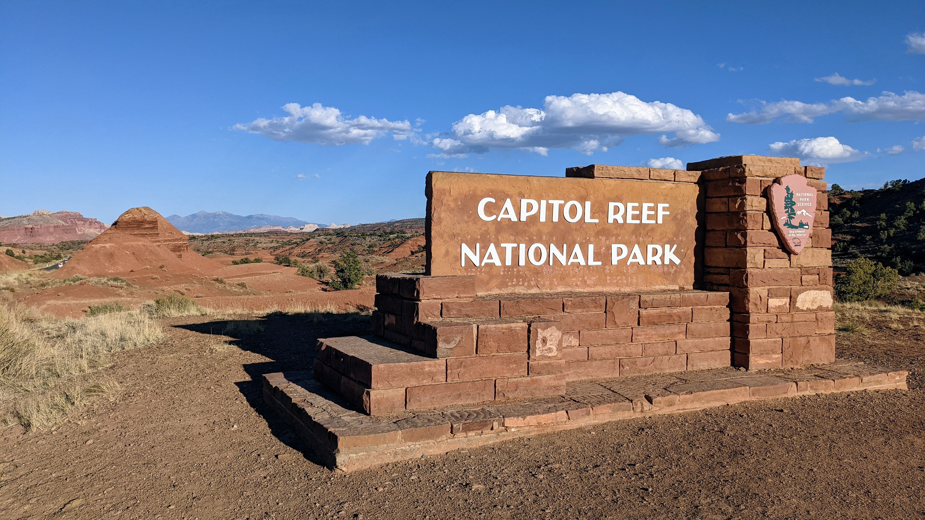
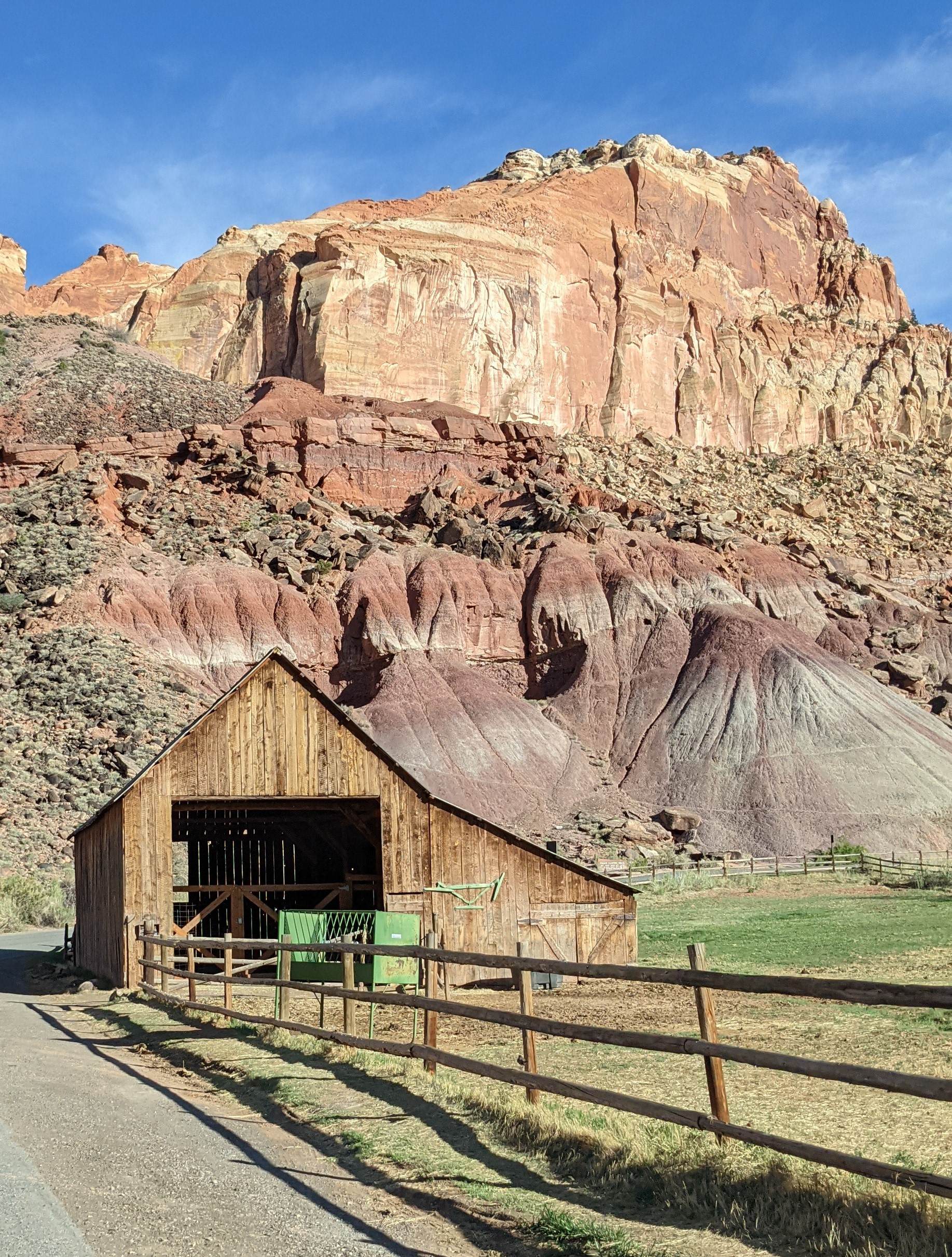
Historic Fruita village is at the start of the scenic drive through Capitol Reef NP.

18 miles of amazingness!

Twin Rocks

Panoramic Overlook of the Waterpocket Fold. A geologic wrinkle on earth! This fold extends for over 100 miles.

Wow!

You can see the distinct exposed layers formed millions of years ago.

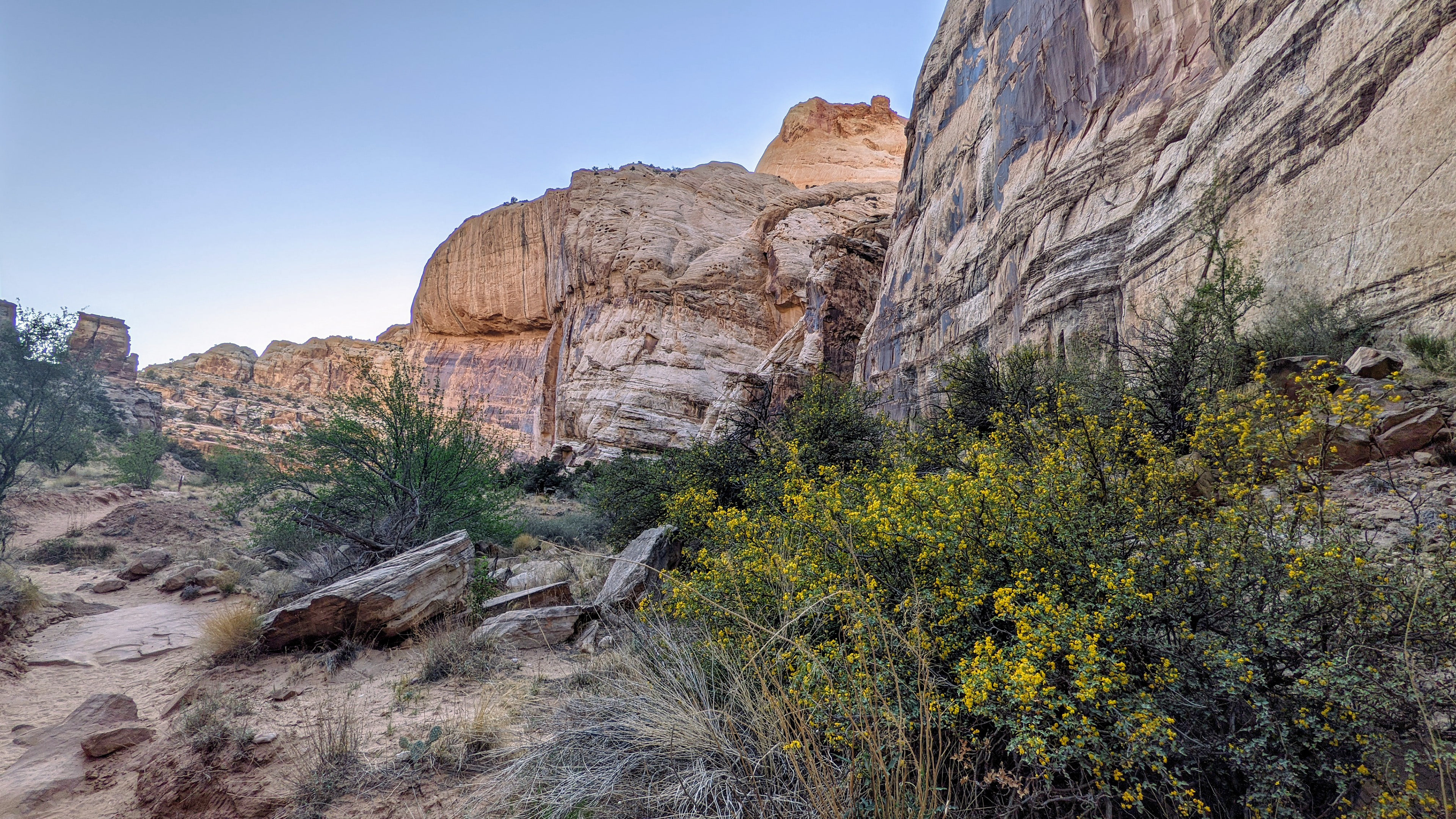
2.5 mile off-road drive down to the Capitol Gorge Trailhead at the end of the park.


We are not sure if this is an authentic petroglyph.
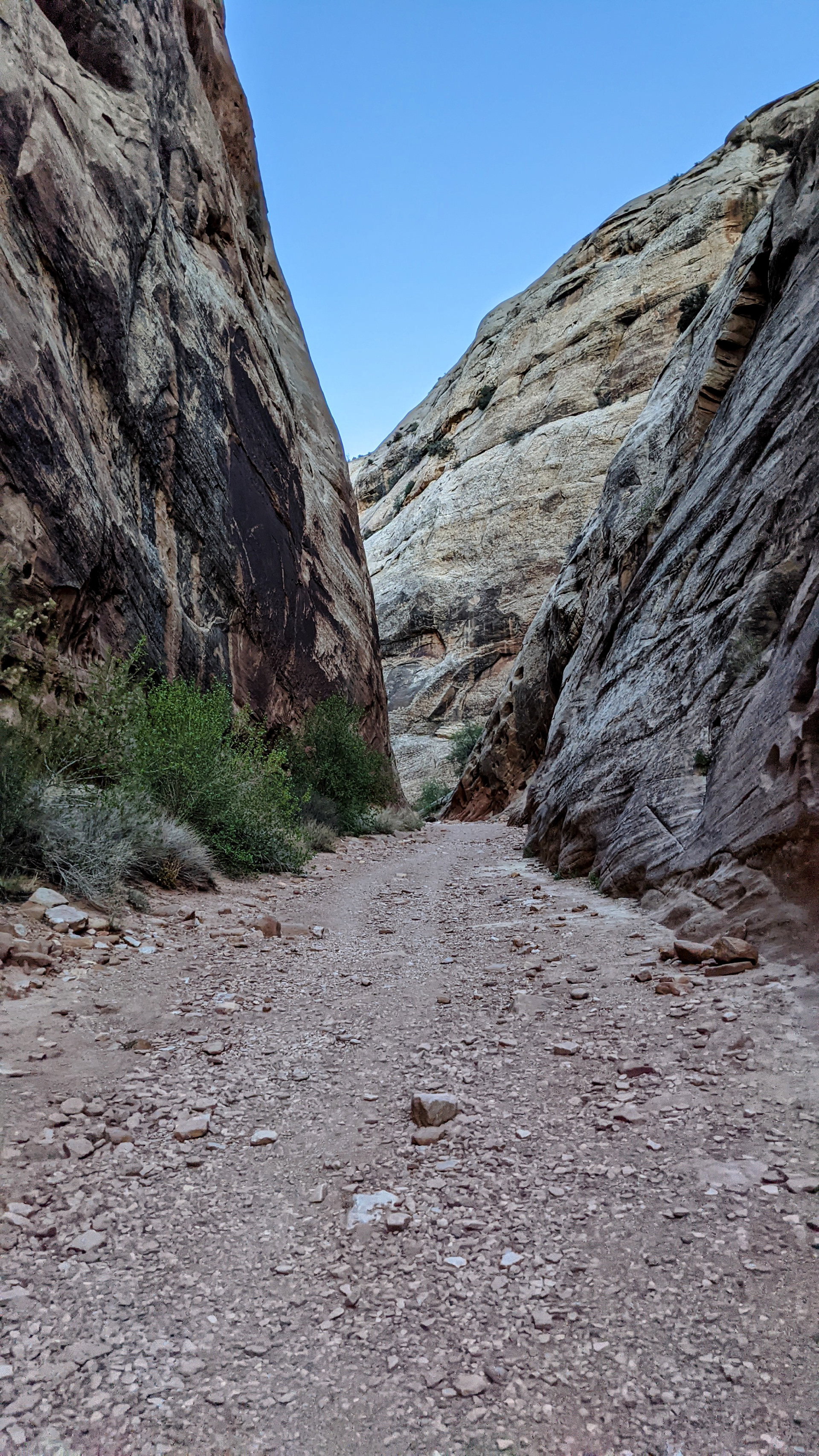
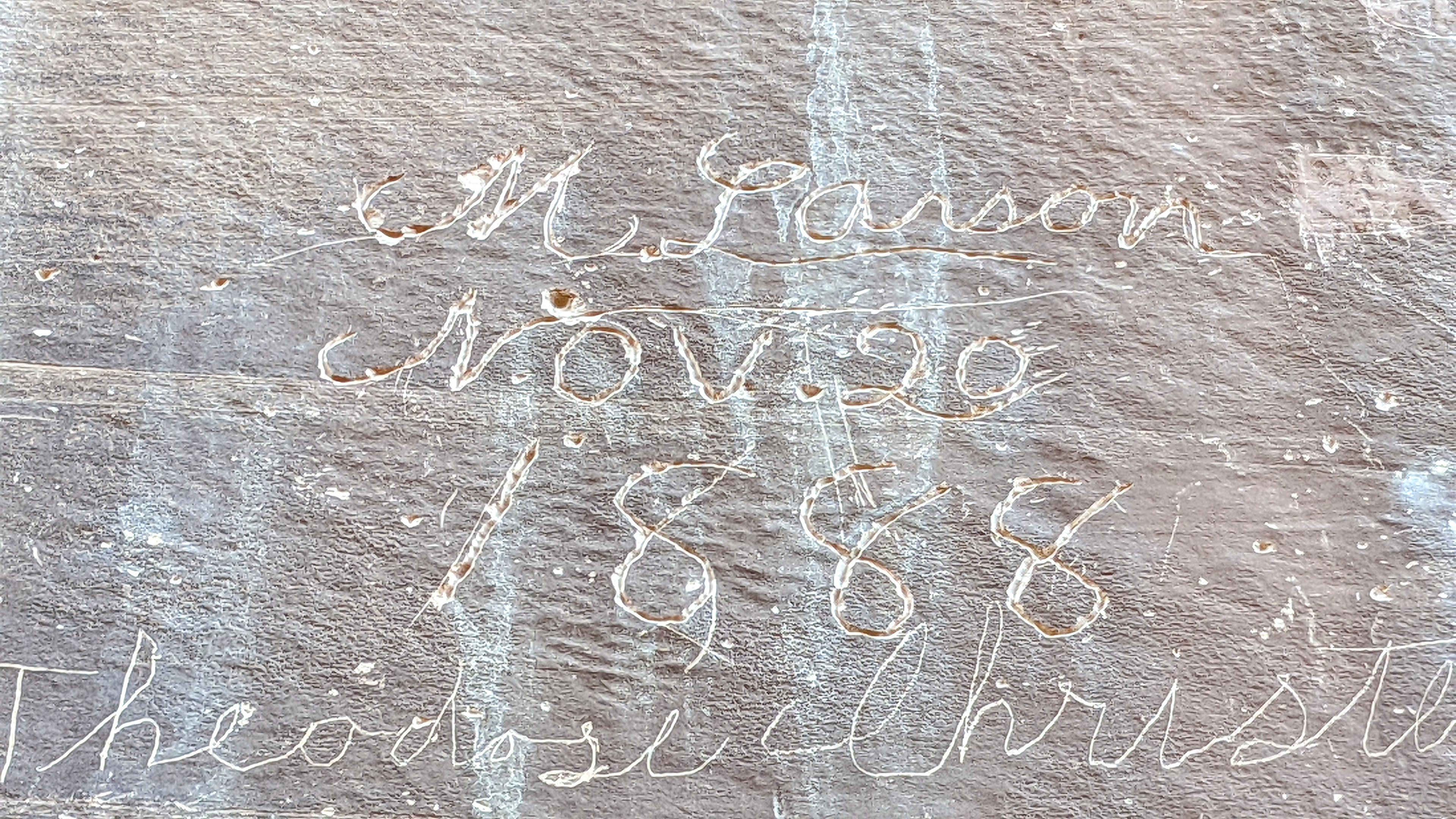
Capitol Gorge 'Narrows' trail to Pioneer Register
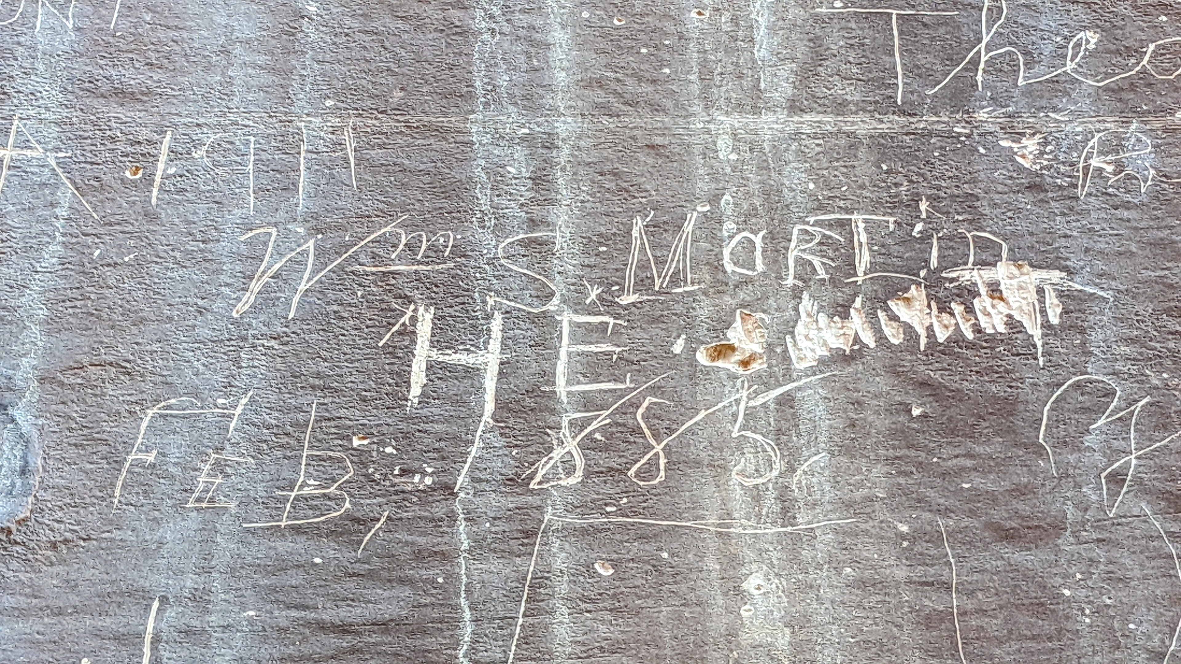
Pioneer Register from the late 1800s.
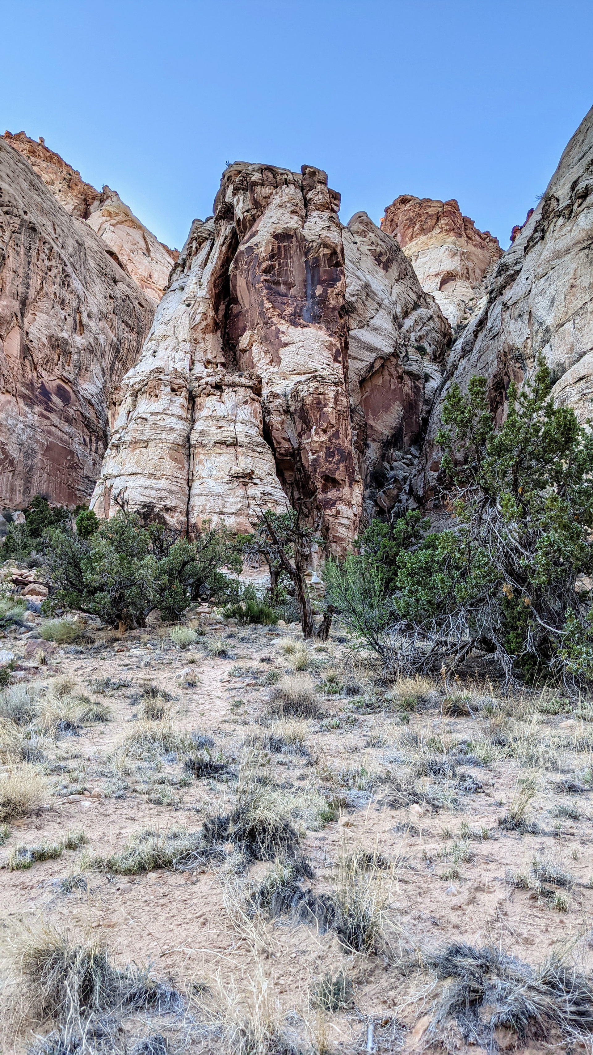
Entirely different rock formations down in the gorge.
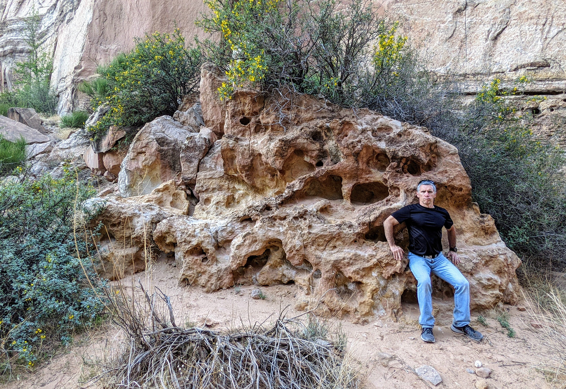
Rich's self-proclaimed throne. He looks like an angry King.
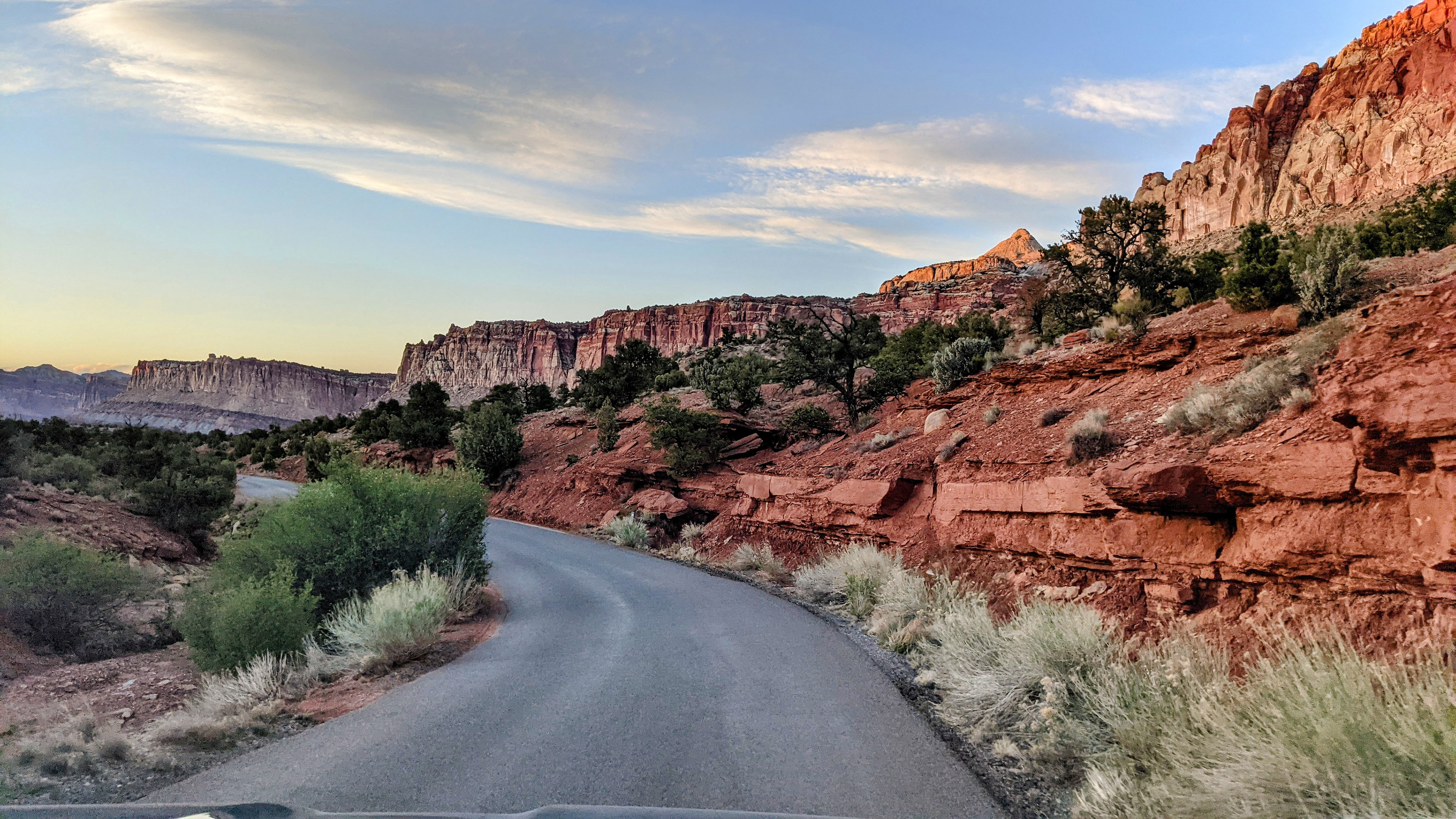
The late evening light on our drive out of the park cast incredible colors on the canyon walls.


Almost a 1000 ft of elevation gain in 1.5 miles. That's steep!


Impressive views!


Grand Wash Canyon below

Road below into the Grand Wash trailhead.

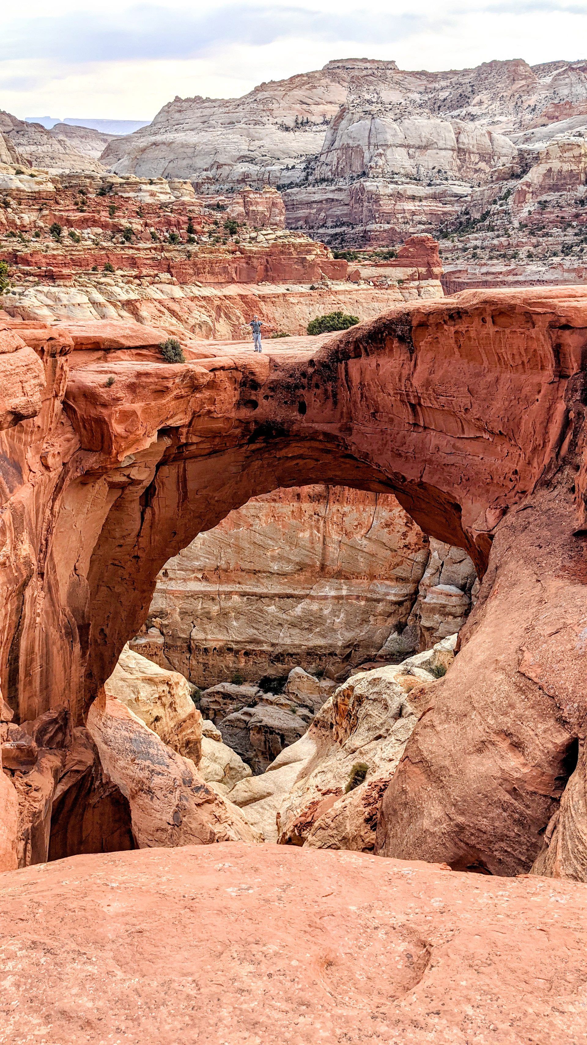
A view of 'Butch' Cassidy's Arch
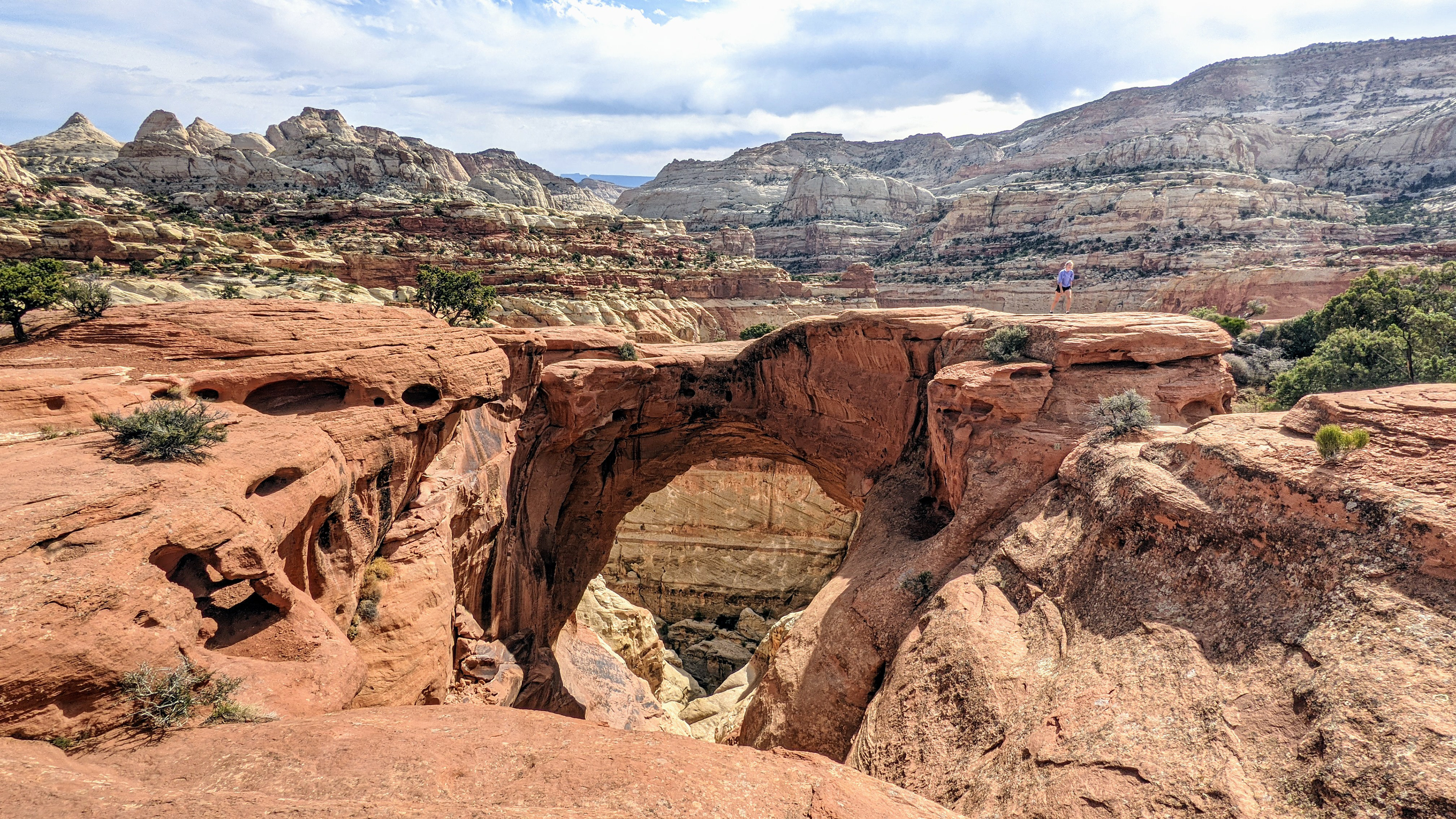
Cassidy's Arch. Famed outlaw Butch Cassidy is said to have hidden out nearby.

It took a lot of courage to walk out there!

Nature has a beautiful way of landscaping.

These rock formations are incredible.

Our Monday morning hike up to Hickman Natural Bridge.

The black boulders are remnants of Volcanic eruptions 50 million years ago.

Beautiful views on the trail to Hickmans Bridge.

We found it! Hickman Natural Bridge. Time to explore.

A huge 133 foot Natural Bridge

Look who's standing on the split rocks down in the right corner!

Time for a little fun.

Looking up!

An arch with a morning sunlit view.

Spectacular view of the Freemont River, Historic Fruita, and the mouth of the Cohab Canyon

The iconic 6,120 tall Capitol Dome. The shape reminded early settlers of the US Capitol building, and lent the park it's name.

What a fun hike!

We stopped at the Petroglyph Panel before heading to Historic Fruita.

Learning about the ancestors of the Hopi and Pueblo people

Petroglyphs carved from 600-1300 CE

These are some of the most intricately carved images in the park

Fruita Mormon School House from 1896-1941.

The one room school house served as the community meeting house and church as well.

So much history through this window. I can just imagine all the amazing stories these walls could tell.

A little window into history.

In Historic Fruita there are 2 of the most amazing Cottonwood trees I've ever seen. This panel tells the story.

The Silent Sentinel Mail Tree thriving for almost 200 years.

The picnic table gives a little perspective on the incredible size of this Cottonwood.

Our final hike at Capitol Reef NP.

Beautiful view of Chimney Rock and the distant Henry Mnts.

A view looking North back towards Torrey, UT. Big Bruce is down below.

A view South looking down at Fruita and The Castle Formation in the midground to the left.

The exposed formations of Capitol Reef start where the north rim of the Grand Canyon ends.

The gray-blue layers were deposited as volcanic ash 225 million years ago. The brick-red layers have ripples and mud crack remains from a time when rivers flowed to desert seas 245 million years ago.

'The Castle' with its beautifully incredible geologic layered formations.
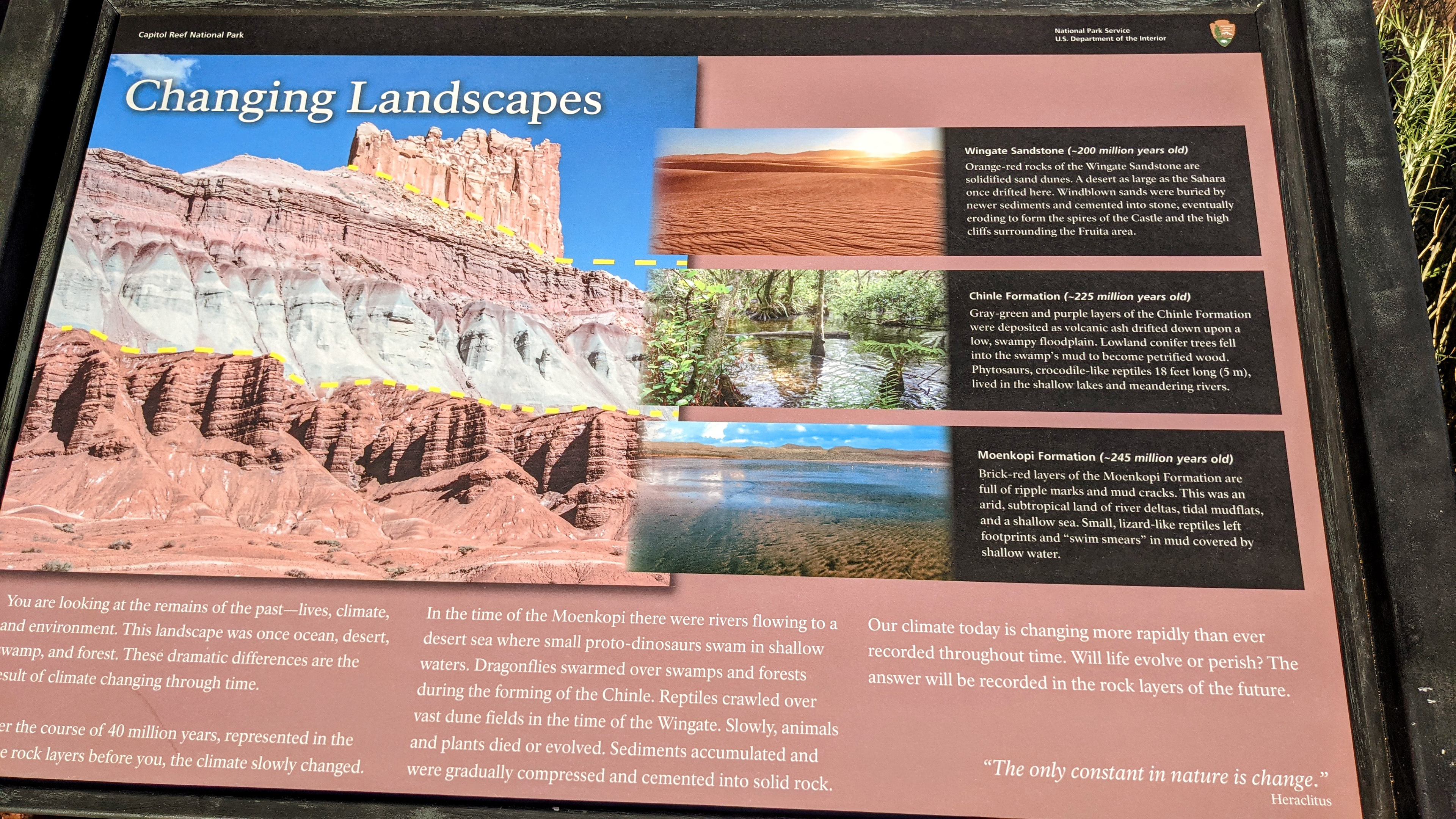
An excellent placard that explains the layered landscape.
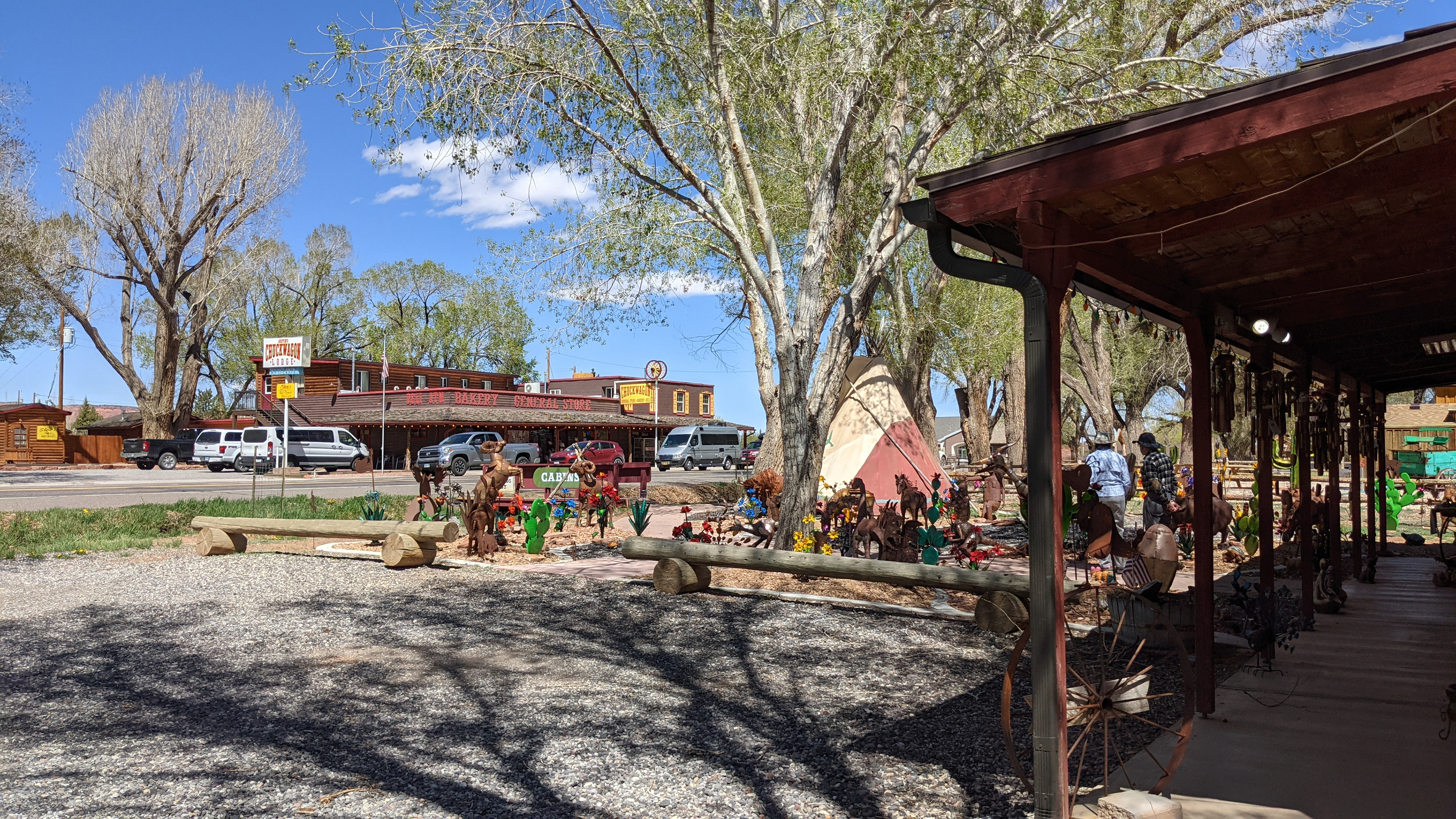
Wrapping up our visit with a trip to the Chuckwagon General Store and the Trading Post.
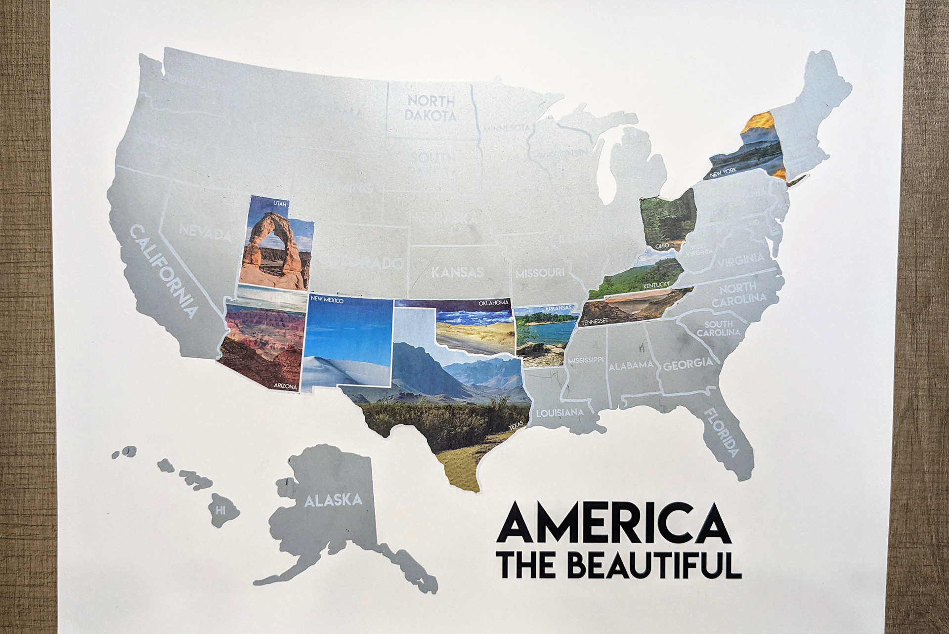
Three National Parks explored and two more to go! Here we come Arches and Canyonland.